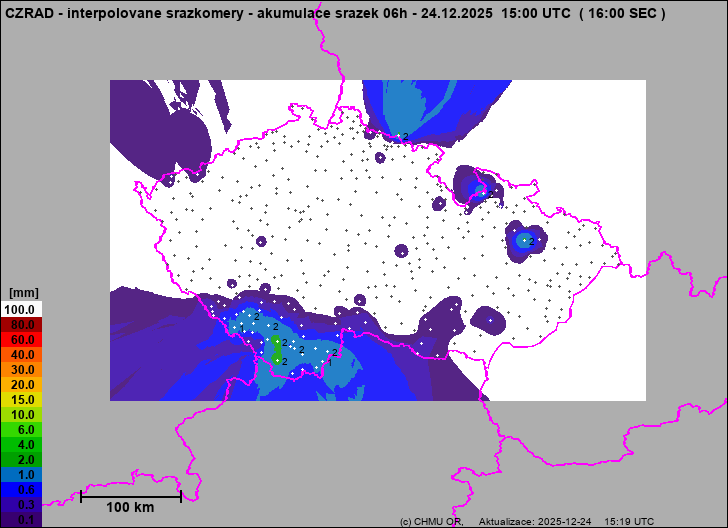
Precipitation estimates - Map from terrestrial rain gauges
 Precipitation - Rain gauge data
 Indikátor přívalových povodní - mapová aplikace (odkaz na starší verzi aplikace zde)
 Flash flood indicator - information leaflet
The maps labeled as "Merge of radar and rain gauges" are being made by merging of the radar-based precipitation estimates and available rain gauge measurements. The "Gauges" estimates use radar only when missing sufficient number of non-zero gauge measurements.
Overview - Sum 6 h

|


